Virtual two minute bike ride through the Mission District – Please excuse our shaky ‘home grown’ dash cam
Coming from the East Bay, we took the first easy exit (Fifth Street) off the Bay Bridge to avoid the heavy traffic this Sunday, August 28, 2016. Found a nice parking spot on the corner of Brannan and Sixth Street on the frontage road. FREE Parking today (Sundays)! Got out the bike and on our way…
The plan will be a loop covering taking us West to Caesar Chaves and up Delores Street and back, but then, you never know with us… We don’t depend solely on maps which leaves us some freedom to end up, well, in some real adventures… and a few pickles ie ‘Thirty Minutes from Total Darkness.’
Click here to subscribe to mailing list
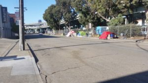 |
| Homeless tent cities were among the first dis-tractions – all a part of San Francisco…but it gets better quickly |
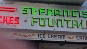 |
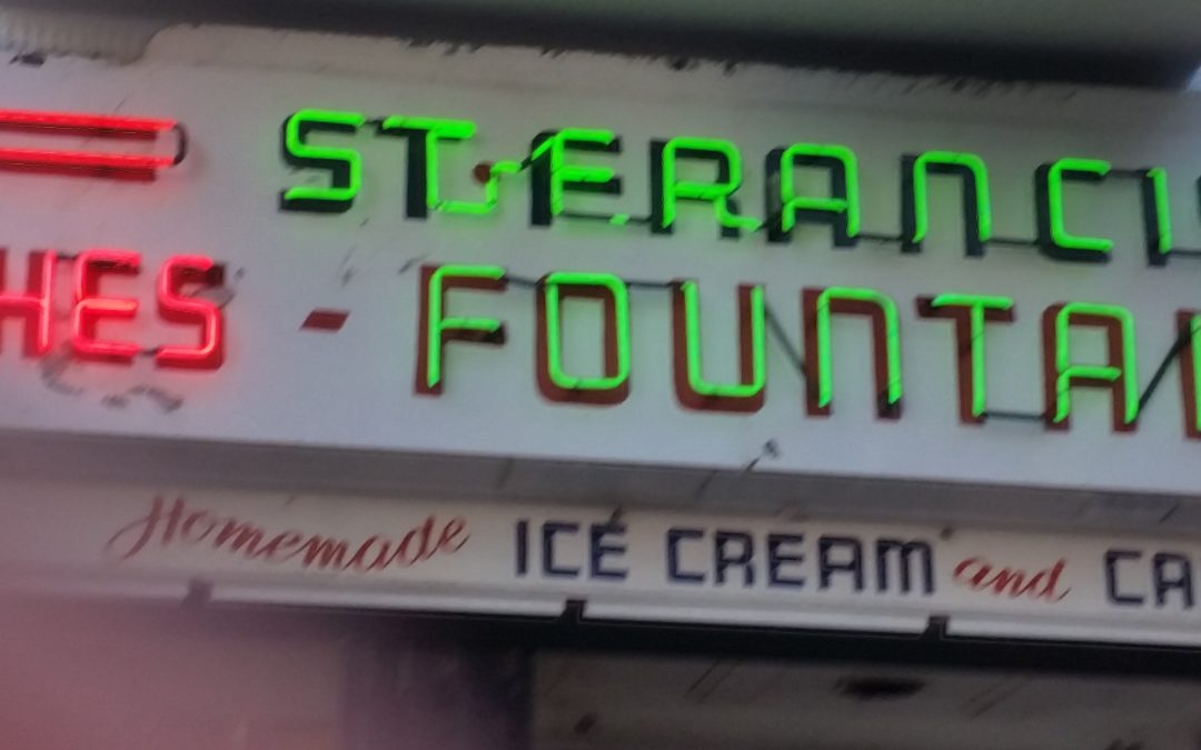
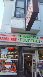
| Speaking of the St. Francis, here we are! That iconic neon sign! Next time we come we must stop and go in. |
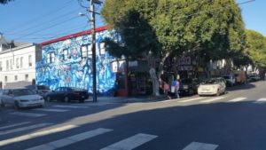 |
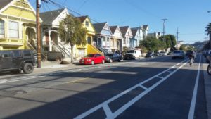
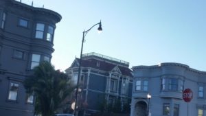
| You don’t see houses painted like this anywhere else. |
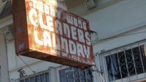 |
| Classic dry cleaners and laundry |
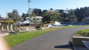 |
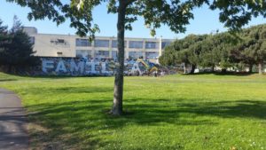
| A nice park, featuring skateboard park and school near Potrero |
 |
| You can do the Mission Adventure by car and if you do, there’s no better way to impress your friends than with a Detail Job from DT Auto Spa– they come to you (or you to them) Now offering a $20 Off coupon (above) 510-472-4181 Visit website |
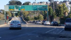 |
| On our way to Cesar Chaves – which would turn out to be the wrong direction |
 |
| Feed the birds, ‘Two Pence A Bag’ |
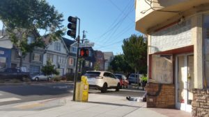 |
| West we thought was East on Chavez , which would extend our trip… |
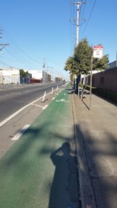 |
| After turning around, we’re going East which we thought was West. Nice bike path here and most everywhere! |
 |
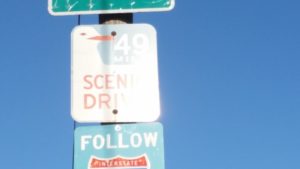
| No Comprende. Everything in Spanish |
 |
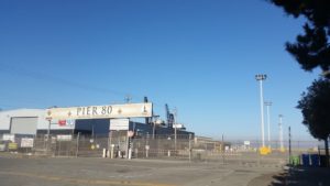
| Ah, and there it is… as we pedal towards Oakland on Caesar Chaves, quite nice for what has become an industrial area |
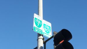 |
| San Francisco truly Bikers paradise now where bike trails abound. We’ll stay on Chaves rather than going towards Embarcadero, which we visited last time |
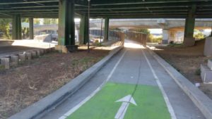 |
| They did a heck of a job fitting these bike paths and little bridges amidst the infrastructure (Hwy 101 looms above) |
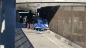 |
| Oops! A little competition for trail space |
 |
| The homeless even get their own oversized garbage ‘pods’ |
 |
| Finally approaching the REAL West end of Caesar Chavez and turning right onto the inimitable Delores Street |
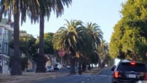 |
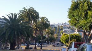
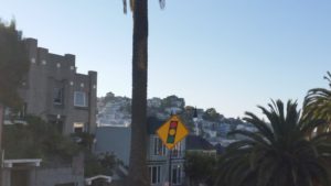
| Almost looks more like Palm Springs than San Francisco. Even the weather is better in this South-West area of the city |
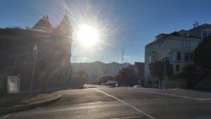 |
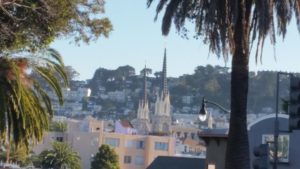
| One of the many ups and downs, this being an up and a nice shot of the setting sun behind the Sutro Tower |
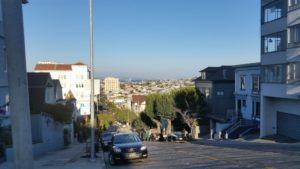 |
| And a look down at where we just came from .You mean we biked all the way from across the city? (of course the city is only 7 miles across) |
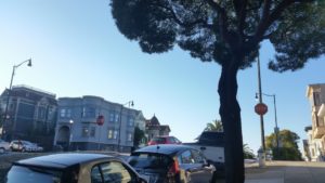 |
| And yet another hill crest. No wonder San Francisco was rated the most ‘fit’ city in a recent survey I read. |
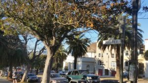 |
| Guess I better go back and correct the spelling of Dolores without the ‘e’ at the beginning. |
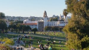 |
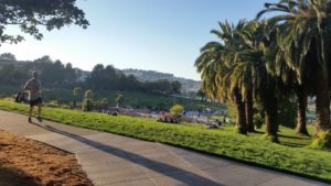
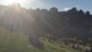
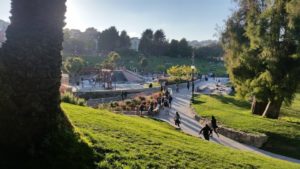
| What a park is Dolores Park, looking towards Mission High School and the REAL Mission Dolores behind it. |
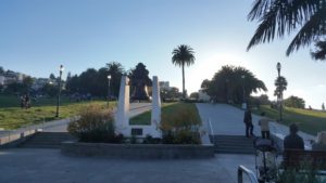 |
| Dolores Park from the front monument |
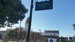 |
| Here they call it ‘Mission’Dolores Park |
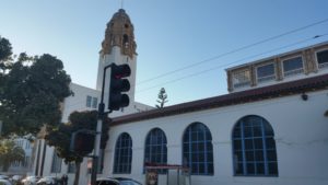 |
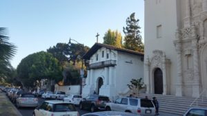
| Looks more like a church than a high school |
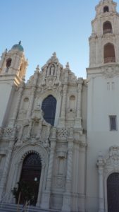 |
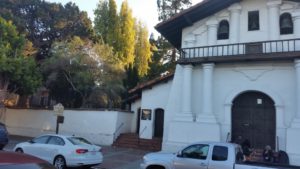
| And this is the church, just to the right of the old Mission Dolores you’ll see next |
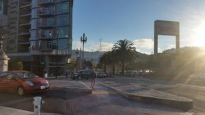 |
| Winding our way up Dolores we reach the end with a statue on the corner of Dolores around 16th St. |
 |
||||||
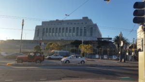
| Sorry for the lack of info as this is our first time and, being on a bike wasn’t able to go inside and check things out, but we believe this to be The old San Francisco Mint, but that’s only a guess. |

